


Description
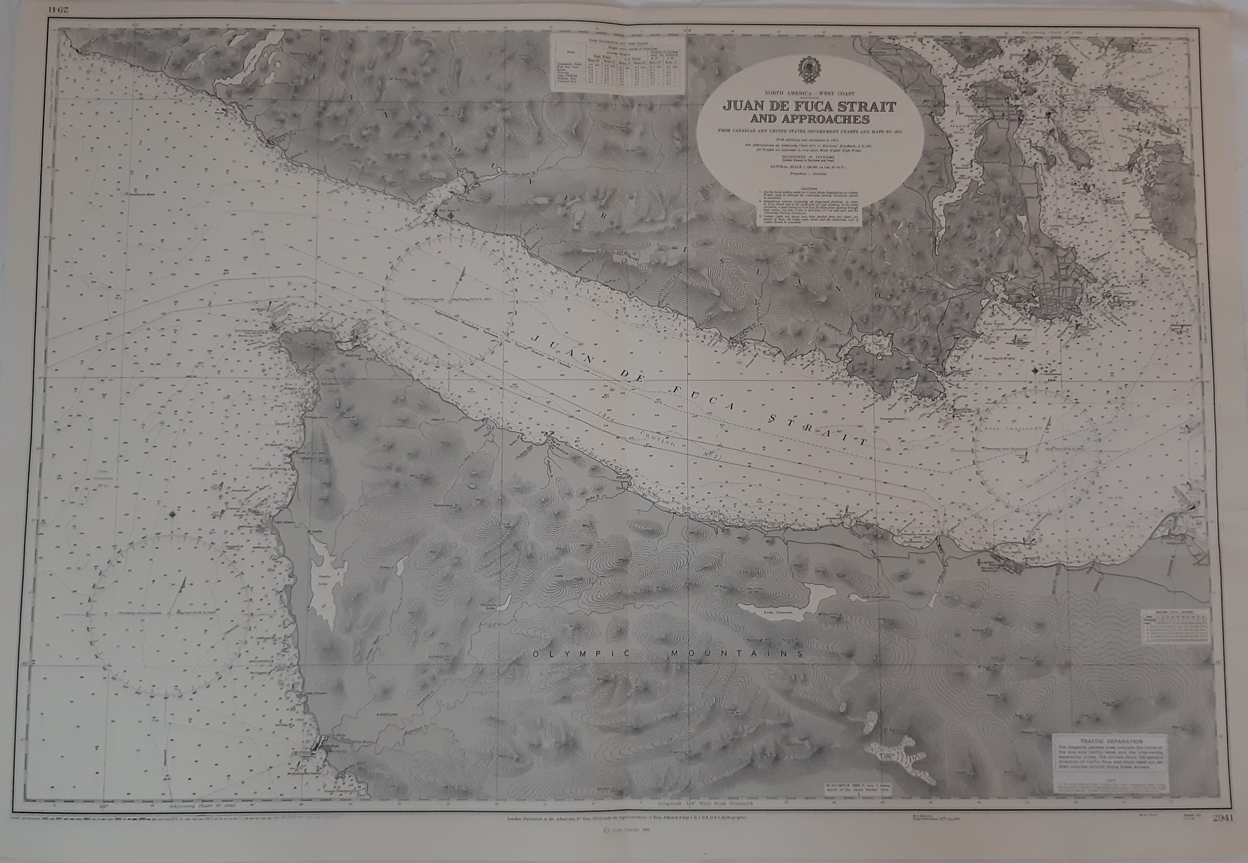
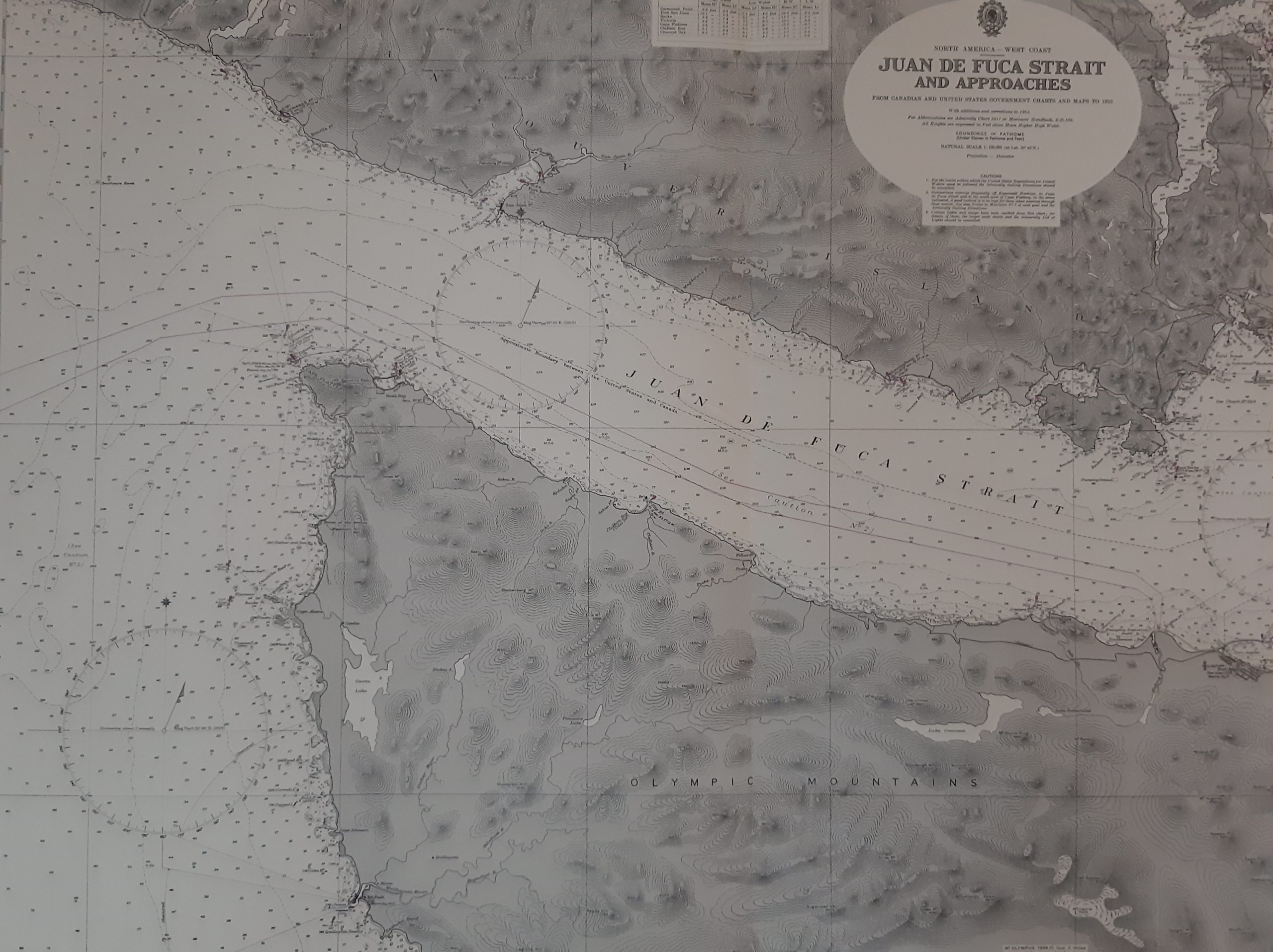
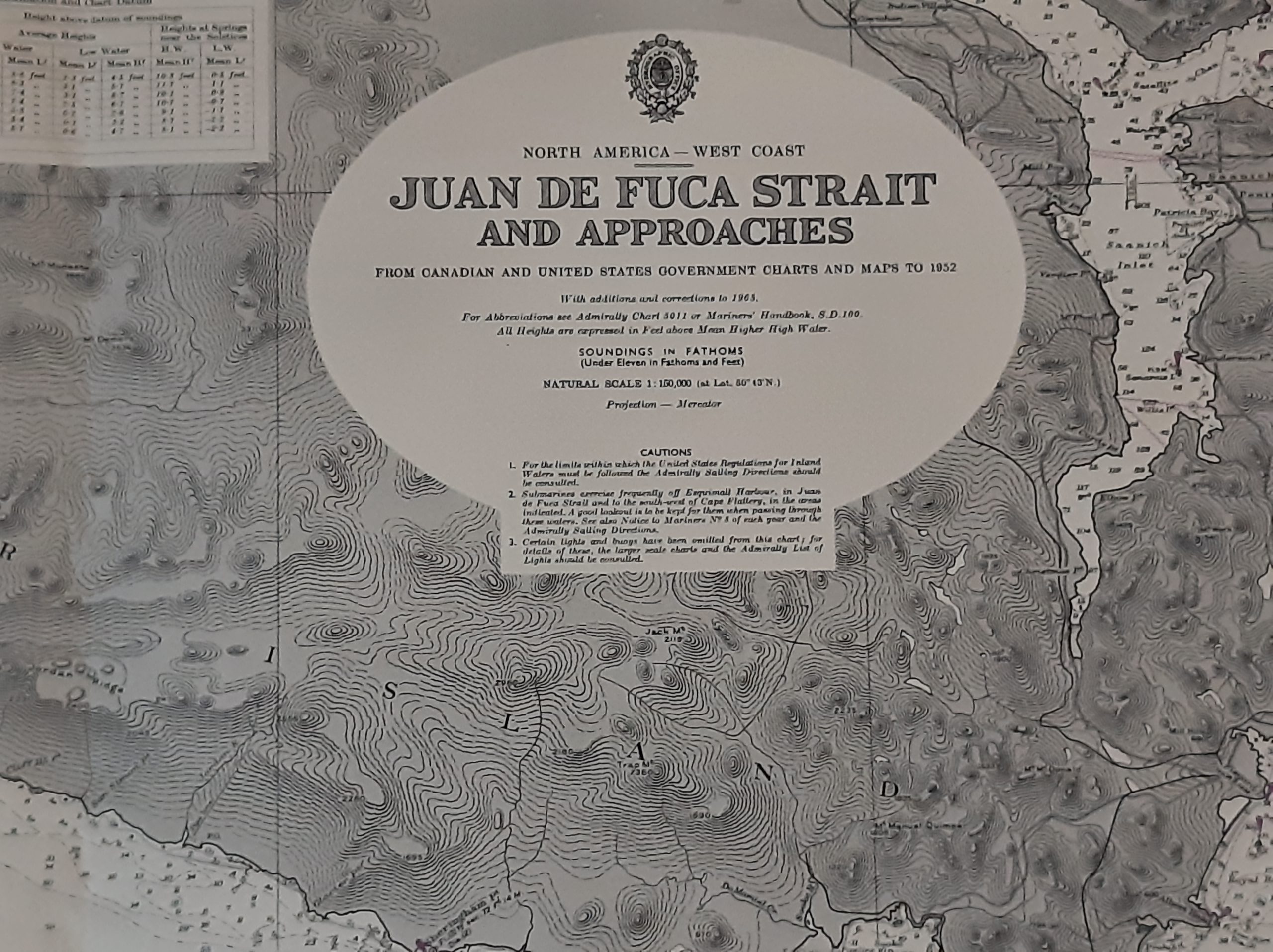
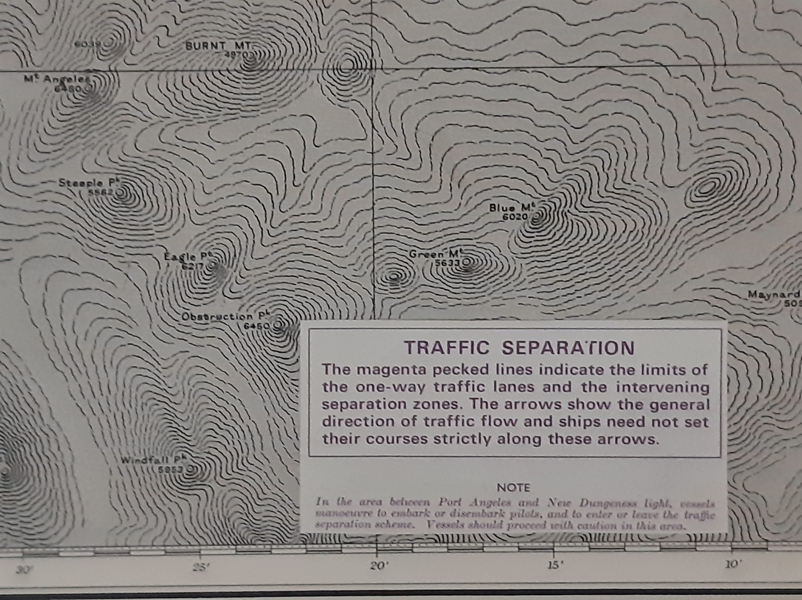
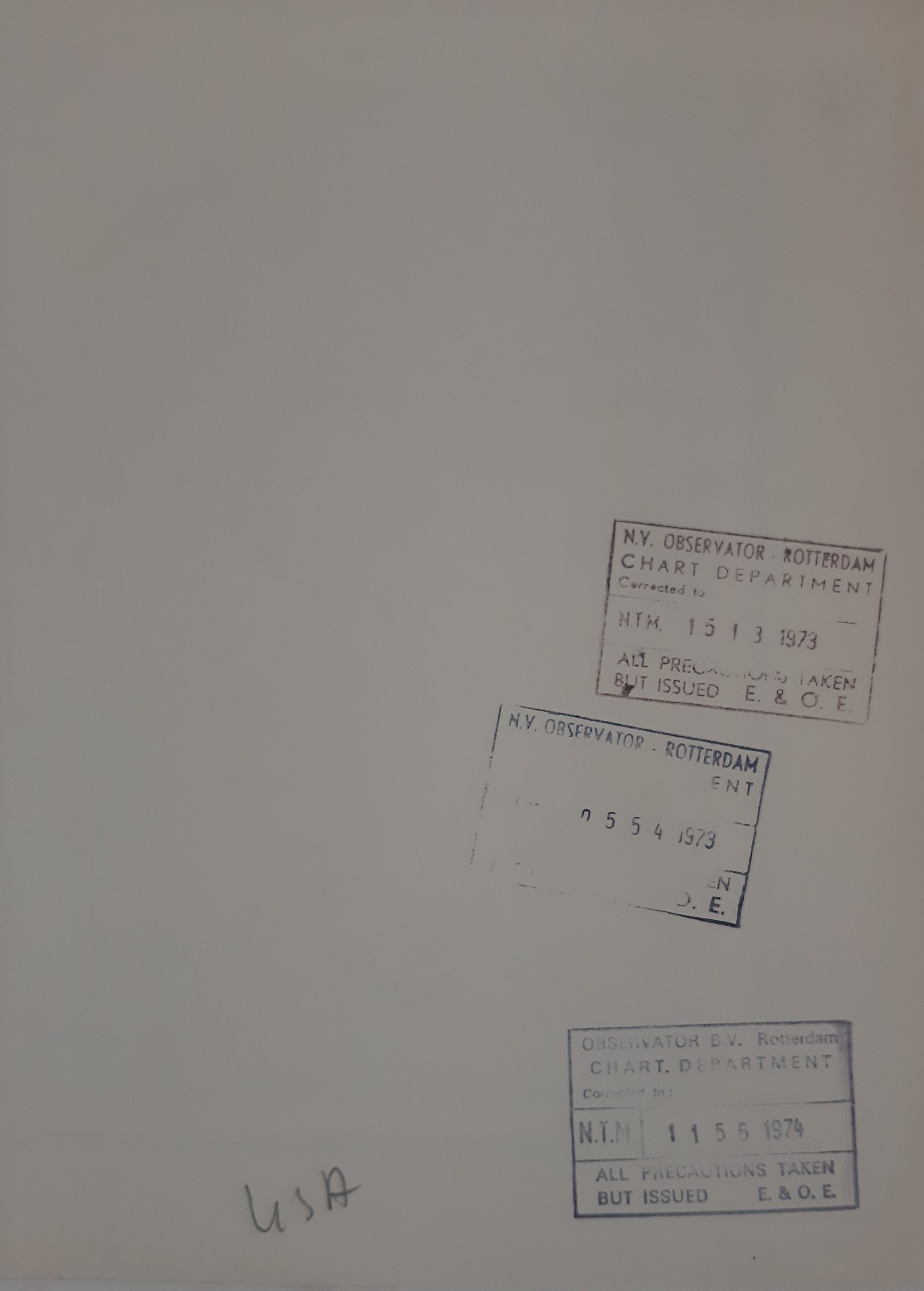
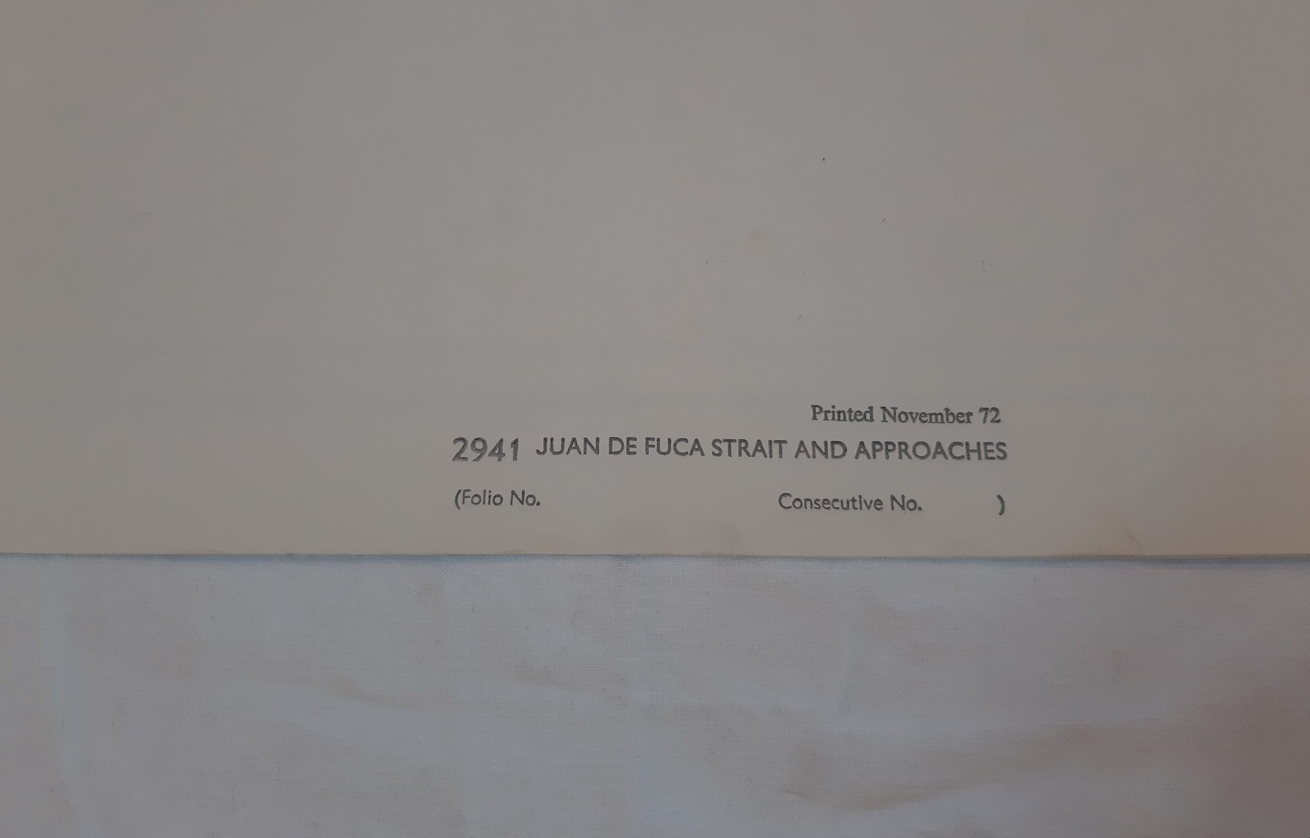
From Canadian and United States Government Charts and Maps to 1952. With additions and corrections to 1965. . Natural Scale 1: 150.000. All Heights are expressed in Feet above Mean Higher High Water Soundings in Fathom.
€ 50,00 incl. VAT
Chart, 131 x 71 cm. Folding map. Fine condition.
In stock
From Canadian and United States Government Charts and Maps to 1952. With additions and corrections to 1965. . Natural Scale 1: 150.000. All Heights are expressed in Feet above Mean Higher High Water Soundings in Fathom.
| Publisher | Admiralty |
|---|---|
| Publisher location | London |
| Year of publication | 1972 |


