


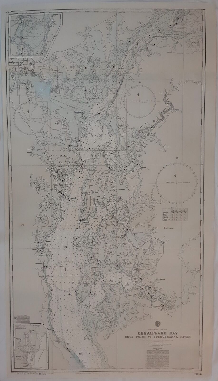
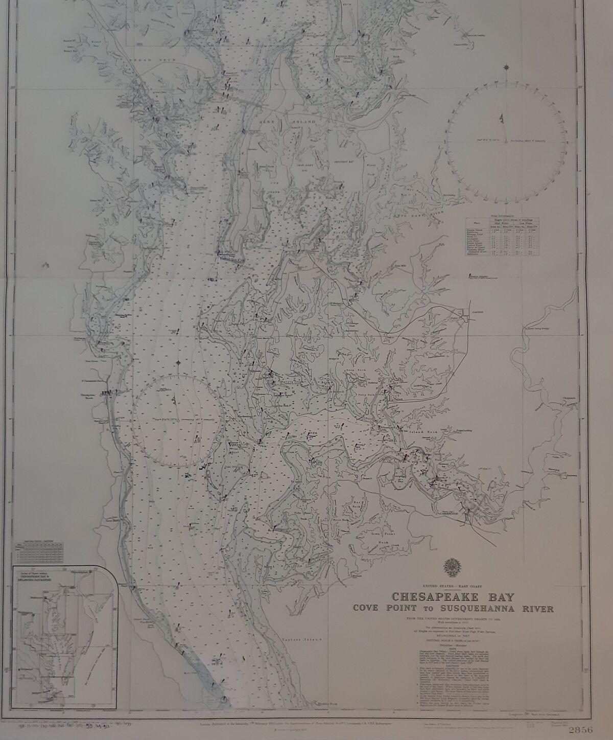
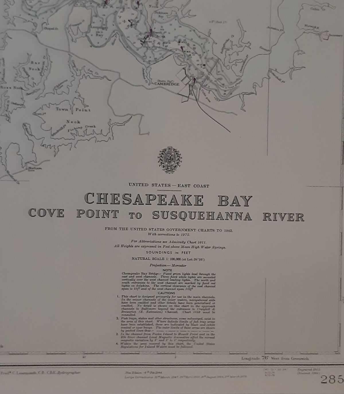
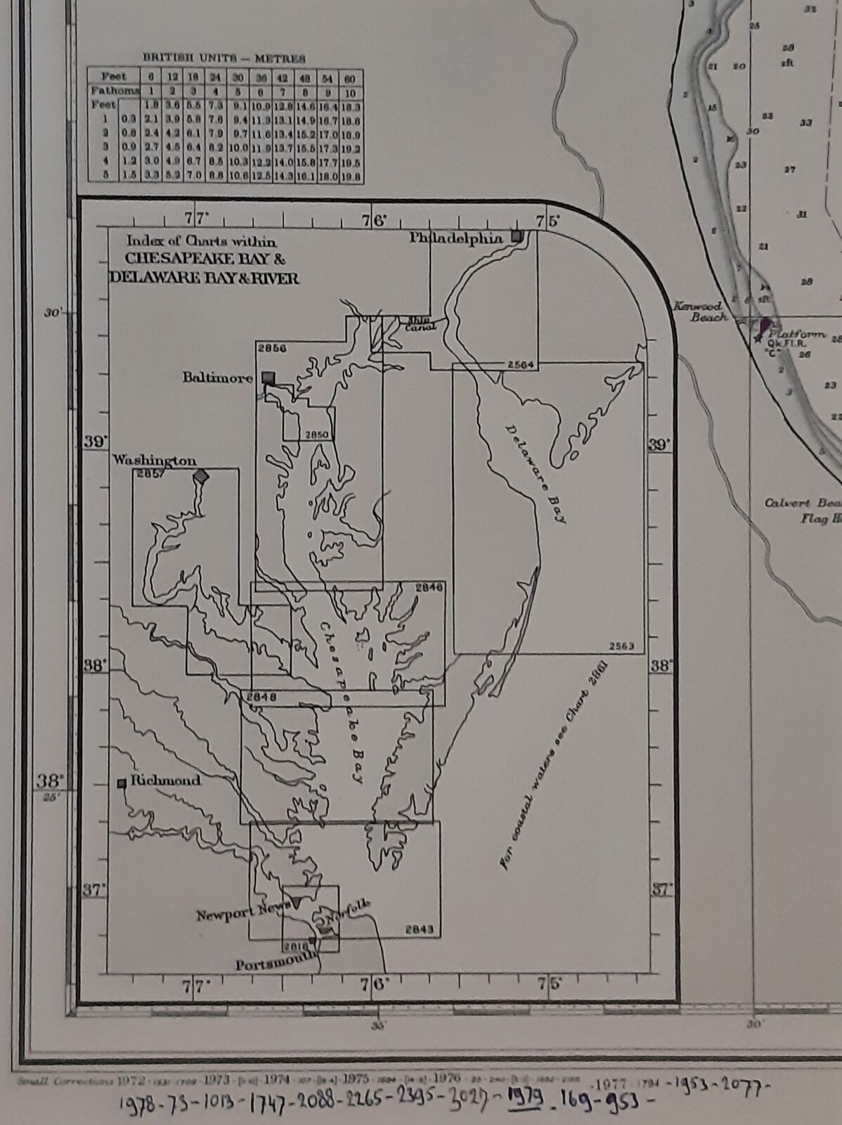
Description
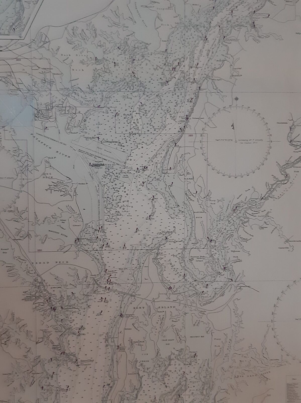
Full title: North America. East Coast. Chesapeake Bay. Cove Point To Susquehanna River. No 2856
Maps and charts Notes From the United States Government Charts to 1942. With corrections to 1972. Natural Scale 1: 100.000. All Heighs are expressed in Feet above Mean high Water Springs.Soundings in feet.


